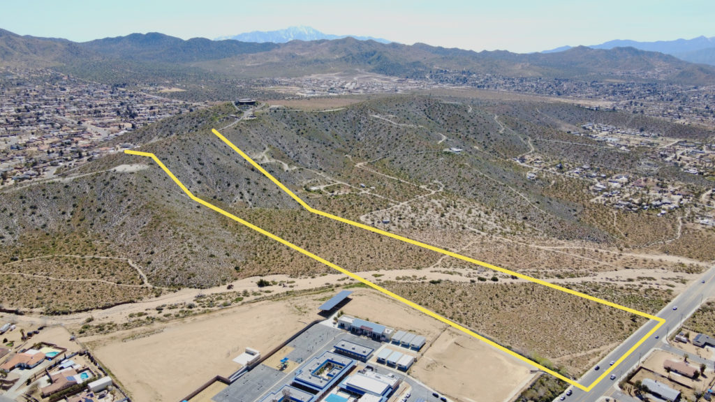
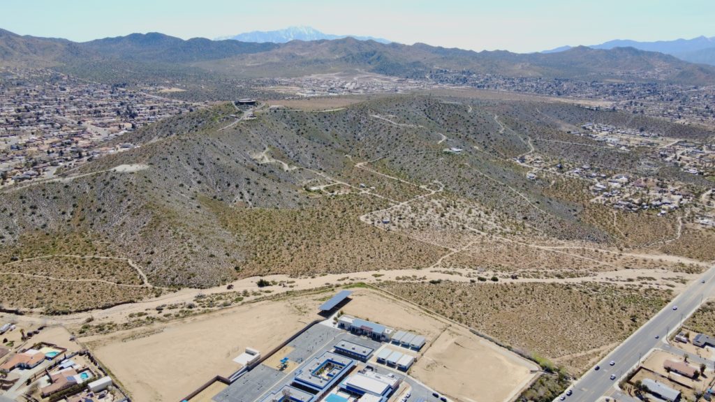
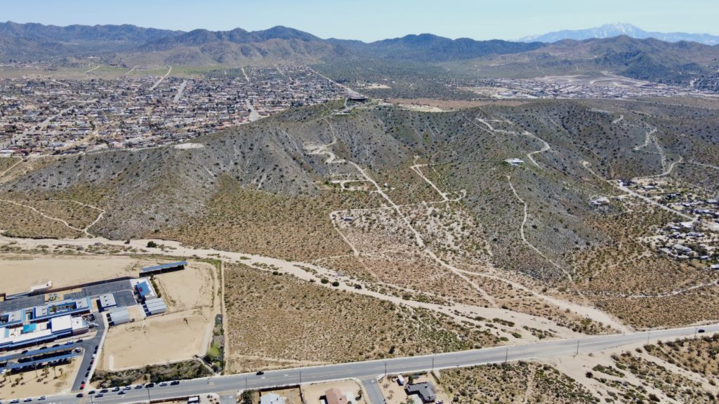
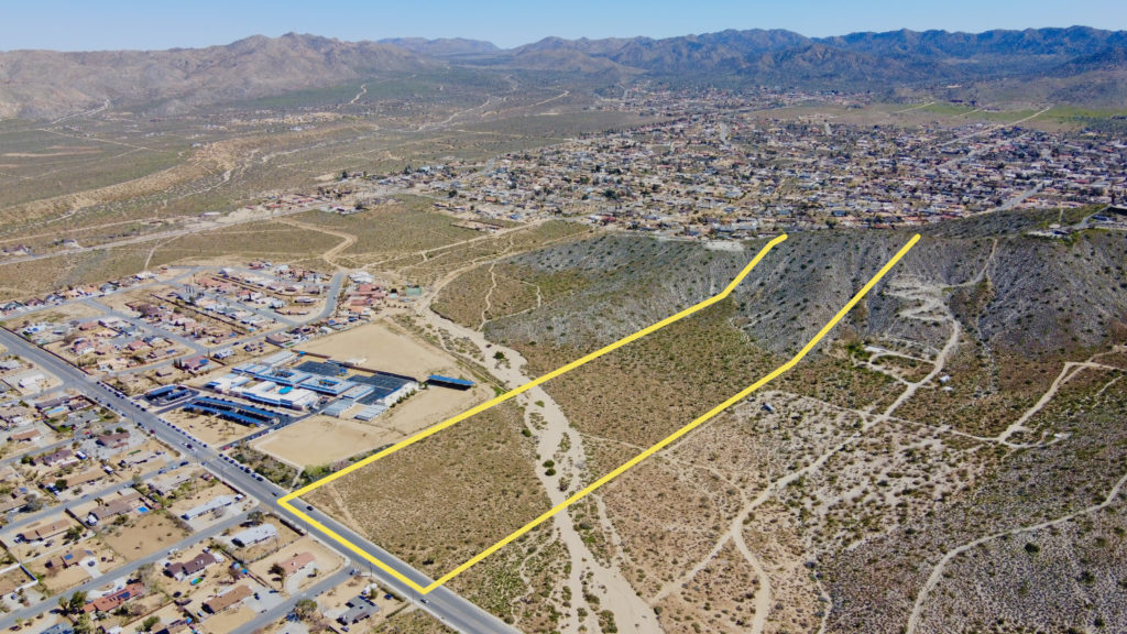
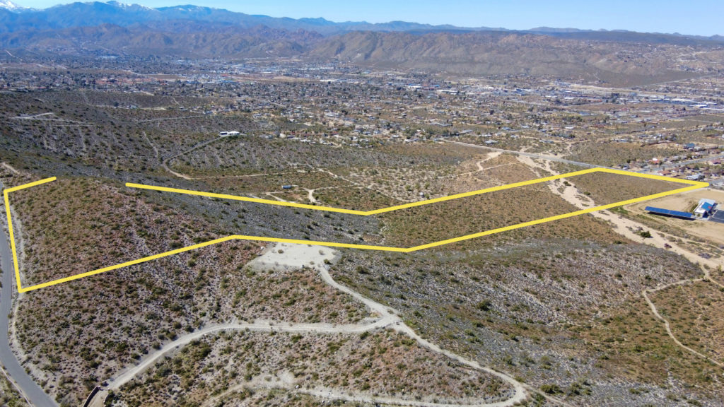
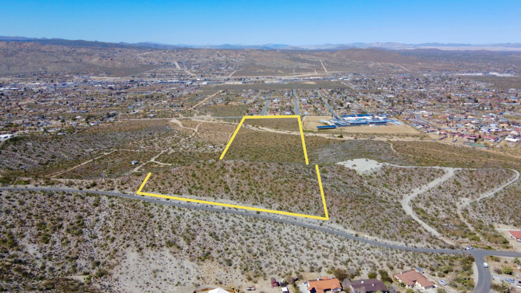
These images are a bit more difficult. Due to larger parcel size, we fly considerably further away to capture the entire image. The mountains make drawing property lines a challenge as well, but they’re accurate – with the high resolution photos we reference bushes, trees, and boulders in our GPS Property Line Software to get spot on property boundaries.
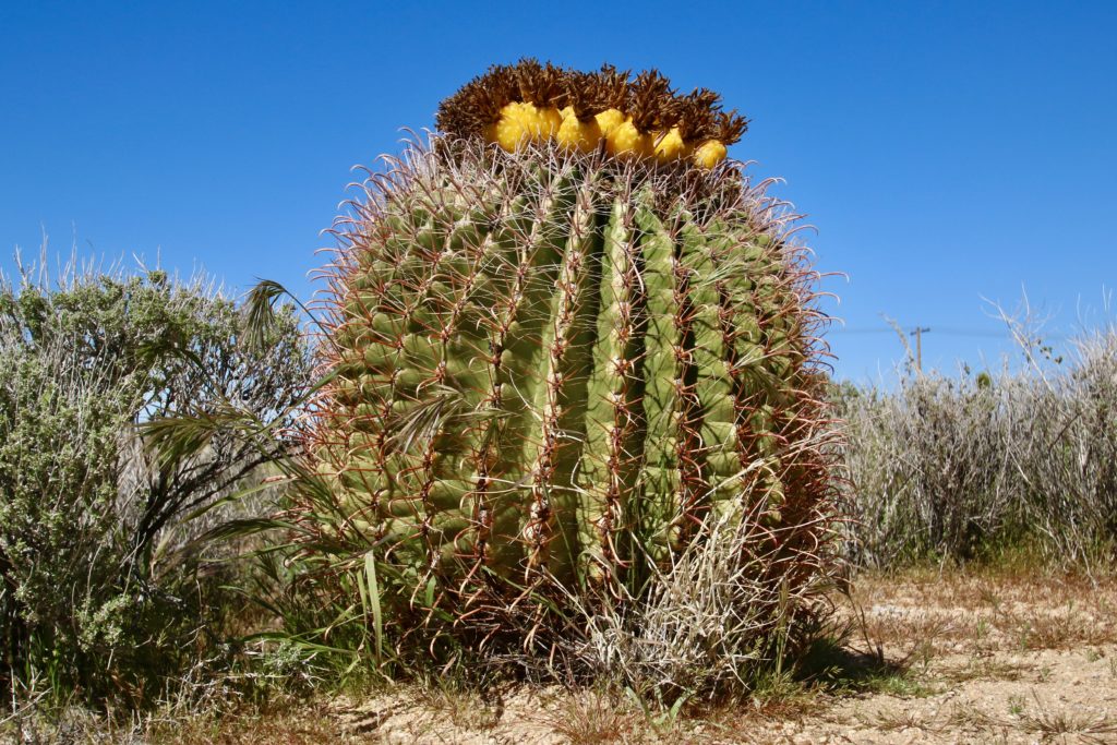
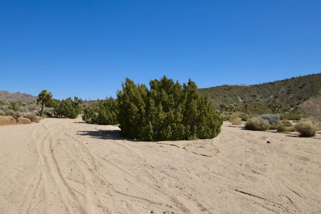
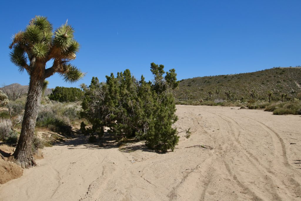
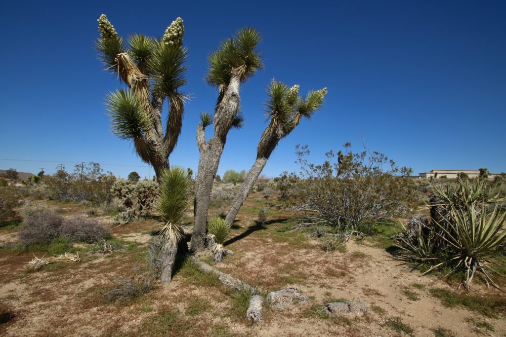
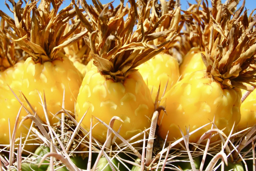
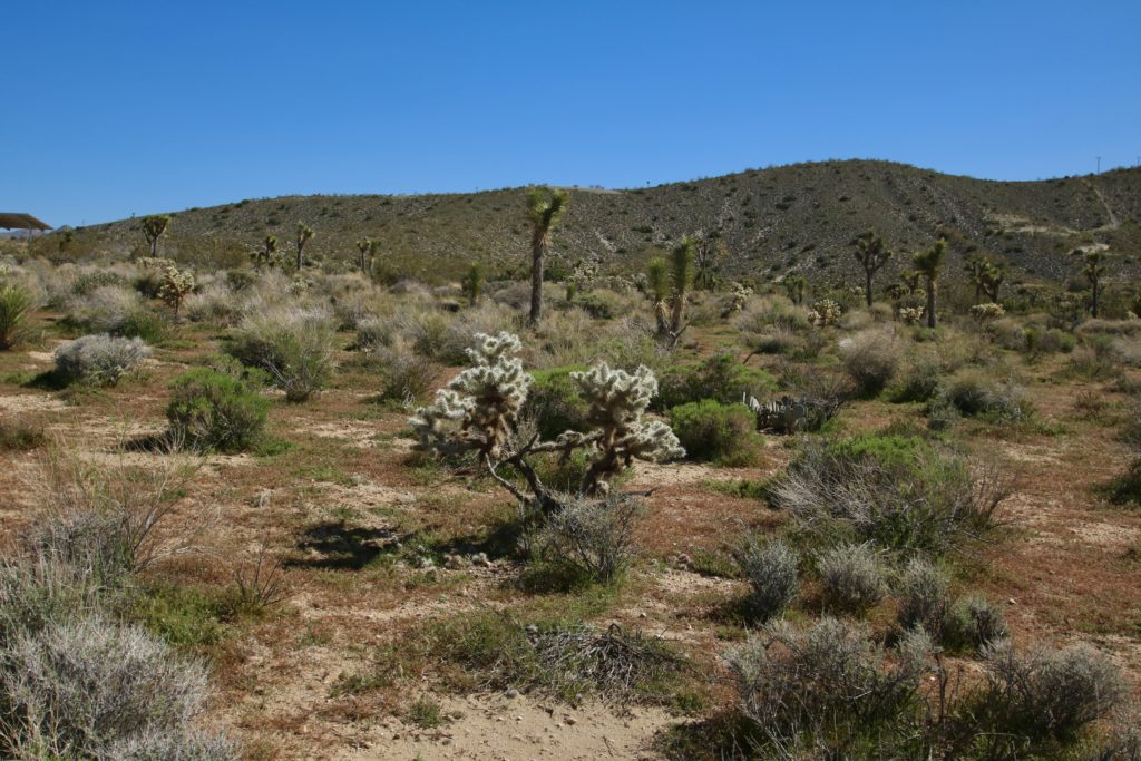
We also shoot a handful of images on the ground with a Canon DSLR. Featuring prominent features like cool cacti, Joshua Trees, & boulders is always a priority.